 Aqua-Soft Forums
Hey,
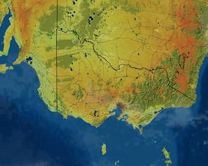
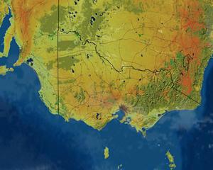
I need help with a .gif i am going to make, It will be a Birdseye Veiw image of Victoria, Australia. And what i want to know how to do is to be able to make clouds, then make them move across the Map (exactly like you would see on T.V). The .gif file will end up going onto a DVD so I can take it to school and then play it to the class (this is for Geography). I have a Map of it right below see if it is possible: